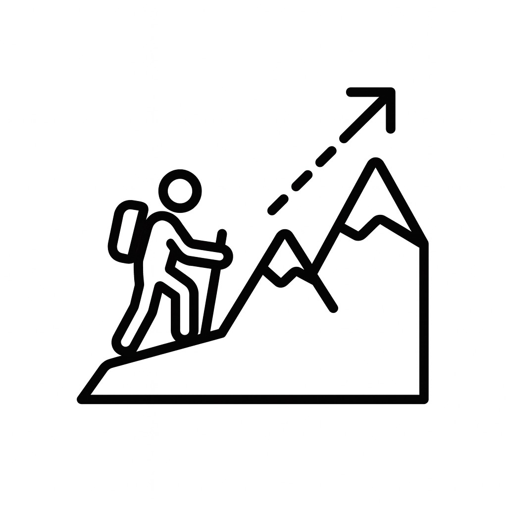
Any Project, Big or Small
From nationwide mapping rollouts to fixing one broken dataset, we’ve got it covered. No project is beneath us — and no challenge is too big.
We’re not your typical GIS shop. We take on the big, the small, and the downright tedious — so your team can focus on the big picture. When the work is messy, complex, or outside the box, that’s where we thrive.
From nationwide mapping rollouts to fixing one broken dataset, we’ve got it covered. No project is beneath us — and no challenge is too big.
Data cleanup, endless QA, repetitive workflows… the things your GIS team dreads? That’s our sweet spot. We handle the grind so you don’t have to.
When standard tools and workflows fall short, we invent better ones. Creative problem-solving is in our DNA, and we love finding unexpected ways to deliver results.
Click a card to see details for each service.
Dynamic maps for zoning, utilities, transit, and recreation that turn complex layers into instant clarity.
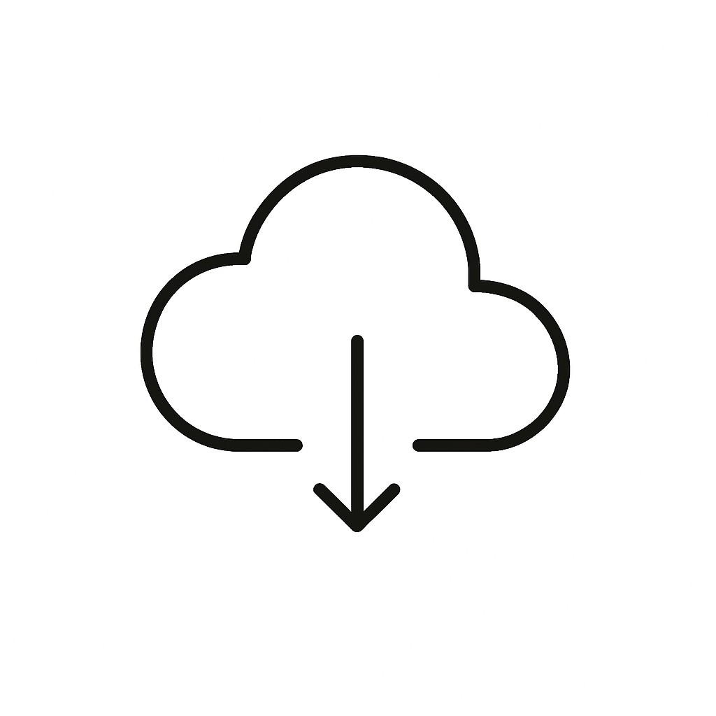
Public portals for shapefiles, KMLs, hydrology, and GTFS — simple, accessible, and ready to download.
Bespoke maps in PDF or aerial formats, customized for zoning, planning, and permits with high-resolution clarity.
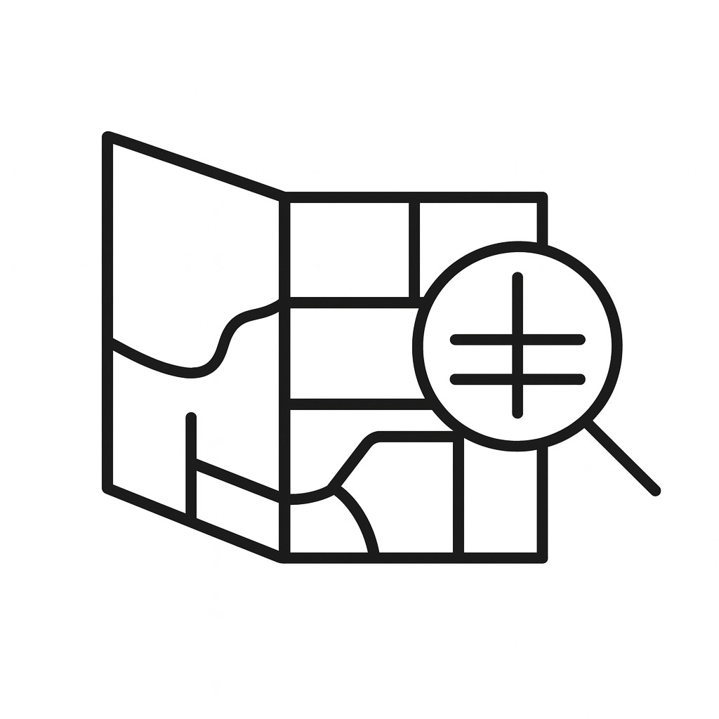
In-depth analysis including demographics, hazard zones, pattern recognition, and spatial statistics for informed decision-making.
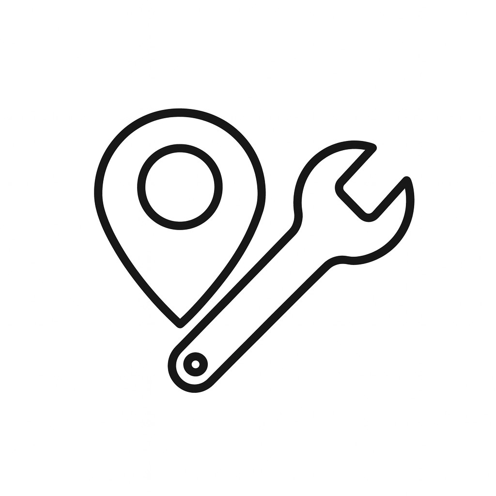
Comprehensive tracking and management of assets and field data with mobile tools and GIS integration for optimal performance.
Engaging StoryMaps and dashboards that integrate multimedia content for immersive public engagement and project storytelling.
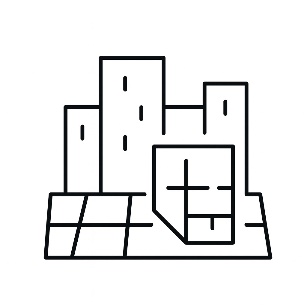
Support for planning and development with zoning analysis, subdivision tracking, land-use history, and growth projections.
Mapping solutions for emergency response, including fire zones, evacuation routes, and critical infrastructure for public safety.
Comprehensive transit solutions including GTFS, real-time tracking, network visualization, and schedule integration.
Maps and tools for trails, parks, and tourism to promote outdoor activities and cultural experiences.